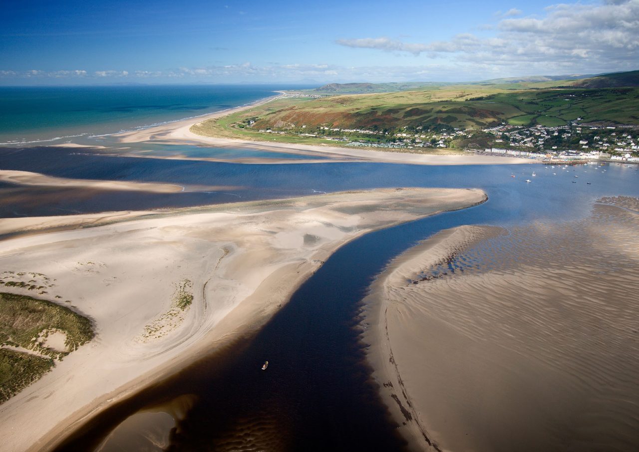
Chapter 9(Preview)
Adapting to the future will mean combining short-term, practical household and community preparedness with longer-term planning. It will need to embrace natural processes as often as possible, strengthen natural buffers and sensibly use engineered defences – but only if they can be justified.
Protecting natural archives of environmental change and supporting habitats such as saltmarshes and bogs are not luxuries. They are part of a resilient strategy that aligns with how the Dyfi coastline has always evolved.
Here, we outline our recommendations to help communities in the Dyfi Estuary and plan, prepare and adapt for what lies ahead.


Actions for our communities and individuals
Below is some practical, evidence-based actions to reduce risks and increase our in the face of accelerating and flooding.
We have based these recommendations on an understanding of the region’s ancient coastline and its influence on flooding. They are aligned with a modern, comprehensive plan for managing the risk of flooding.
Understand where water wants to go River terraces, ancient river paths (termed palaeochannels), peat and tell you where water will concentrate during floods.
Local historic maps, British Geological Survey and Natural Resources Wales flood maps, and community knowledge (which fields flood and how often) are essential. Land that sits on older raised gravel terraces drains differently than land that sits on low lying peat or an alluvial floodplain.
The Natural Resources Wales flood maps use cutting-edge technology and science. First, Lidar (laser scanning) is used to create a highly detailed map of the land’s shape and elevation. Then, hydrological models estimate how much water enters rivers during rainfall, while hydraulic models show how that water moves across the coastline and floodplains.
To plan for the future, these models are adjusted to include scenarios – such as projected sea level rise, heavier rainfall and more frequent storms – based on the latest UK Climate Projections. This combination gives communities a clear picture of current and future flood risks.
Plan for multiple futures Flood risk planning should consider a range of sea level rise and rainfall scenarios. Official planning and mapping from Natural Resources Wales and local authority flood risk management plans are a good starting point for householders, planners and community groups.
Take measures to protect your property and community Community flood plans
Local flood action groups, clear evacuation routes, local alerting systems and refuge locations (arranged in advance) can reduce the risk to life and speed up recovery.
Borth and Ynyslas have published a community emergency plan, which includes information on storms, power cuts, prolonged snow and fire.
Learn more about flood warnings and alerts on the Natural Resources Wales website.
Protecting your property
Raise electrical points, install flood boards or demountable defences in the short term.
If it is cost-effective, use water-resistant materials at ground floor level. Make sure any insurance coverage takes into account official flood maps – these can be found on the Natural Resources Wales website.
You can find out more about what the main UK insurers will and will not cover on the Which? website.
Get help and support, before and after a flood
The National Flood Forum is a charity that helps, supports and represents people at risk of flooding.
They offer specialist flood recovery services, information and advice (including how to cope after a flooding disaster), professional training and work with communities to empower them to reduce their flood risk.
Floodmart.com, a US-based online hub, offers advice on flooding, including 12 ways to emotionally recover after a flood.
Who to contact during or after a flood
If your life is in danger Call 999
Check live flood warnings Visit flood-warning.naturalresources.wales or call the Natural Resources Wales
Floodline on 0345 988 1188 (24 hours a day)Report a gas emergency Call National Gas Emergency Service on 0800 111 999 (24 hours a day)
Report a water or sewer emergency Call Welsh Water on 0800 052 0130 or 0800 085 3968
Report a power cut Call 105 or visit powercut105.com
Check local road closures or request sandbags Call Cyngor Gwynedd Local Authority on 0176 677 1000 or Powys
County Council on 0159 782 5275 (out of hours).Report a blocked drain or surface water on a road Call your local council:
- Ceredigion County Council on 0154 557 0881 (during office hours)
- Powys County Council on 0345 602 7035
Report highway emergencies in Ceredigion (outside office hours) Call Ceredigion County Council:
- North Ceredigion on 0197 062 5277
- South Ceredigion 0123 985 1604
If your property has flooded or your vehicle was damaged Contact your insurers and follow their advice
You can also sign up for free flood warnings from Natural Resources Wales.

Actions for flood and managers, policymakers and practitioners
Policy, finance, planning and governance Here, conducting critical reviews, creating partnerships, securing funding and using the latest planning tools are key to drawing in funding from government, and lobbying ministers for the critical resource we need to support future adaptation
Target multi-benefit funding opportunities Seek integrated funding for projects that offer multiple benefits, such as flood risk reduction, improving nature and restoring peat.
Use planning tools to avoid any mistakes Strengthen local planning policies to steer new building projects away from high-probability flood zones and require climate-resilient standards for any permitted development.
Conduct monitoring and reviewing Embed periodic adaptation reviews (for example, every five years) that update assumptions, incorporate new projections and adjust pathways. Incorporating transparent, -led review processes help to build legitimacy and flexibility
Adopt scenario-based regional plans to 2075 and beyond Use UK Climate Projections (UKCP18) and the Welsh regional sea level allowances to evaluate a range of futures and stress-test designs to 2075 and beyond.
Local authorities and National Resource Wales must include sea level allowances and regional guidance in local flood risk management plans and any decision-making to avoid locking in new development in high-risk zones.
Design for flexibility and incremental adaptation rather than single, irreversible solutions to avoid any regrettable investments.
Create catchment partnerships Expand and formalise partnerships that include National Resources Wales, local authorities, Dyfi Biosphere, farmers, utilities and community groups. This is so they can better coordinate natural flood management, modelling and mapping of contaminated river channels and floodplains, and strategic .
Prioritise nature-based and hybrid solutions As much as possible, restore saltmarshes, dunes and peat as living, , and use engineered structures selectively if need protecting.
Restore saltmarshes and dunes
Allowing space for saltmarshes and dunes which attenuate wave energy and trap sediment to migrate inland (where feasible) increases long term .
– where land is allowed to revert to habitat – is already a recommended option in many UK estuaries and may be appropriate for parts of the Dyfi where long-term protection is not possible. This approach needs to be carefully managed in close collaboration with local landowners whose livelihoods depend on this land.
Conserve peat and bogs
Maintaining Cors Fochno and the surrounding bogs keeps peat functioning as water storage. It also reduces flooding and protects nature.
Evidence from the peat record also argues for protecting these archives as they contain long records of past storm events.
One example of this conservation work is taking place in the Elan Valley, where two successful restoration projects are helping to stop the of peat and protect 28 hectares of blanket bog.Conduct natural flood protection measures
Planting leaky dams and restoring woodland and riverbanks can slow flow, retain sediment and reduce downstream . They are most effective when applied in combination and across many small upland sub-catchments – and when landowners are involved.
Work at
River flood risk, sediment supply and contamination originate upstream. -scale natural flood management and land-use measures reduce , trap sediment and deliver biodiversity co-benefits. Measures like restoring woodland introducing sustainable grazing for livestock – can help reduce .
Evidence from local initiatives, such as those at Pennal and Talybont, demonstrates multiple local benefits when farmers and communities lead projects.
However these schemes need to be mitigated with other defences in catchments with drainage areas greater than 10km2, as they do not offer protection or reduce the severity of the effects of larger floods, such as the event in Ceredigion June 2012.
Infrastructure design and maintenance It is crucial to protect the Dyfi Estuary’s infrastructure and design engineering solutions that are adaptive, easy to maintain and ecologically friendly.
Maintain critical infrastructure
The Aberystwyth-Machynlleth railway line runs through low-lying and river valley areas, making it highly vulnerable to . Rising sea levels and more frequent, intense floods will increase the risk of embankment breaches, track washouts and service disruptions.
For local communities, this means reduced reliability for commuting, tourism and emergency access – potentially isolating villages and impacting livelihoods. Without major adaptation measures, such as strengthening embankments or raising sections of track, these disruptions could become more frequent and severe, affecting both the economy and daily life in the Dyfi valley.
Find the key roads and utilities (like the A487 road, bridges or water treatment works) that would cause a large ripple effect if they failed. Protect them using better designs, raised roads and stronger sea walls built for future water levels.
Avoid blanket hardening of the coast (which uses materials like rock, concrete or steel), which can cause habitat loss.
Implement design standards that allow for adaptation
Engineering designs should allow for design structures that can be raised or taken apart later (in modular parts with sections that can be replaced easily), using materials and shapes that reduce maintenance and ecological impact.
Protect and manage sediments carefully There are several ways to keep contaminated sediment, river channels and floodplains in check.
Map and monitor contaminated mine waste and tailings (fine grain residues generated from the milling process of mining operations)
Create a prioritised inventory of legacy mine sites and downstream contaminated river channels and floodplains.
Fix or secure high-risk mine waste piles (spoil tips) by planting vegetation or building protective structures to stop contaminants from spreading in the future.
Produce risk maps for communities and farmers living on contaminated floodplains.
Assess sediment quality before any work takes place
Environmental Impact Assessments for any new project that disturbs floodplains or tidal muds must assess metal concentrations and pathways to avoid disturbing any polluted sediment.
If disturbing the sediment is unavoidable, create and implement containment, remediation or safe disposal measures.
Fixing key upland waste will reduce any future pollution. New modelling and mapping tools can help locate contaminated river channels and floodplains, as well as offer clear guidance on how to manage them.
Monitoring, data and warning systems Improve tide and river-level gauges, upland rainfall networks, and sediment and water-quality sensors in key tributaries.
Use combined river-tide forecasting models to give accurate compoundevent (when several flood drivers happen at once i.e. storm surge from the sea during high tide and river flood, which can increase the effects of flooding) warnings. You can learn more about flood warnings and alerts on the Natural Resources Wales website.
Create community-accessible visual data maps and clear local guidance. Real-time information strengthens our community’s response and supports local decision-making.
Community-level preparedness and social resilience This is all about making sure communities are ready for change and have a say in how decisions are made.
Community flood plans and property adaptations
Strengthen local flood action groups, produce rehearsed evacuation plans, identify community refuge sites and priority-access routes, and promote property-level measures (raised electrics, demountable barriers, flood-resilient materials). Decision-making must be participatory and transparent.
Encourage homeowners to take steps to insure their properties, while also lobbying for fair insurance arrangements.
Support for people and their livelihoods
To help those people whose homes and farms can no longer be protected, we need a fair, long-term approach that helps them relocate as well as compensates them for their losses. This plan also needs to determine how to strategically move sea defences back – all in way that protects communities and preserve social cohesion and local economies.
Cultural heritage and natural archives of environmental change The Dyfi catchments peatlands, floodplain and estuarine store ancient records of past sea level change and human activity.
Any adaptation projects – especially , dredging or floodplain work – must factor in archaeological surveys and monitoring to record threatened heritage.
By working with universities, museums and heritage groups, we can protect historical sites. This involves selective excavation, protecting other sites where they stand and educating the public to show that saving these sites form part of your planning.
Actions for the next five years
In the short term, here are five of the most critical actions that flood and managers, policymakers and practitioners can use to support our communities
Update local risk assessments Use the latest UKCP18 sea level inputs and Natural Resources Wales flood mapping. Identify those areas most at risk, including infrastructure, communities and contaminated sites.
Map legacy mine contamination of river channels and floodplains Prioritise stabilising old waste heaps (spoil-tips) where they are most likely to erode. Also focus on creating management action plans in communities and farms located on contaminated floodplains
Scale-up natural flood management and peatland restoration pilots Build on Pennal 2050 and Talybont projects, with evaluation metrics for sediment trapping, biodiversity outcomes and how beneficial they are to the water systems.
Develop community adaptation packages These include leaflets, property grants, evacuation rehearsals and strengthening flood-warning reach.
When the cost of coastal defence becomes too great to maintain, move sea defences inland (strategic realignment) This mean finding new sites, determining who owns the land and arranging how to compensate them.
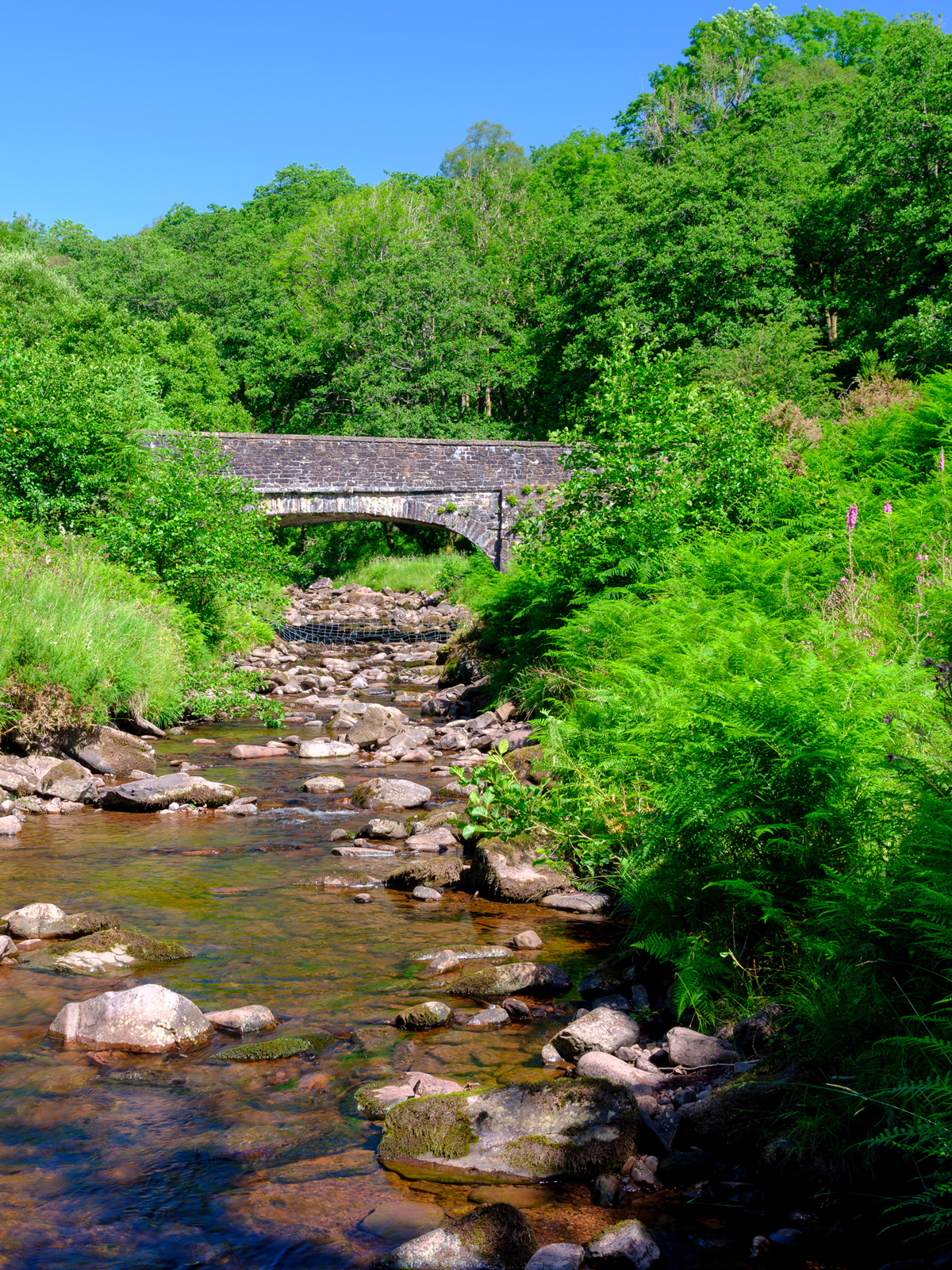
Examples of in the Dyfi
Here are two examples of how communities in the Dyfi are putting plans in place right now.
The village of Talybont, where the Afon Ceulan and Leri meet, was very severely affected by flooding in June 2012. In the aftermath, Talybont has demonstrated a and an ability to adapt to local level flooding by forming a community flood group, the Talybont Floodees.
The group provides support for people whose homes have been flooded (or are at risk of being flooded). The Talybont Floodees also began a major tree-planting programme in the Ceulan and Leri catchments upstream of Talybont to try to reduce runoff and river flow.
On the north side of the Dyfi valley, the award-winning and farmer-led Pennal 2050 Natural Flood Management Project is running an ambitious programme managing land and stream , runoff and flow across more than 7,000 acres. Learn more about this project on GOV.UK.