Chapter 5(Preview)
is the process of adjusting to current or projected sea level rise, and other impacts of to build in communities and environments.
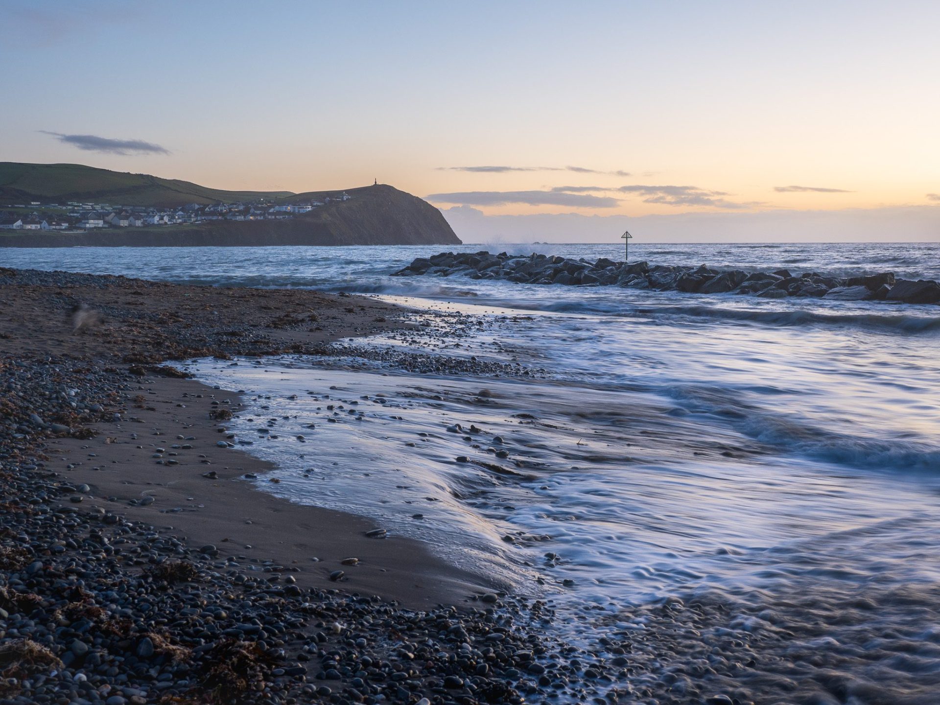
Part of this process involves the creation of Shoreline Management Plans. They provide a strategic, long‑term framework for managing risks from flooding and .
They assess how different stretches of coastline are likely to change and set out preferred management approaches – such as holding the line, , or no active intervention – over 20, 50 and 100‐year horizons.
Their purpose is to balance environmental, social and economic considerations so that communities, infrastructure and habitats can be protected in a sustainable and coordinated way.
Adaptation strategies for managing the coastline
The four main adaptation strategies used in shoreline management plans are:
- holding the line
- advancing the line
- no active intervention
These strategies are all based on scientific, social, economic and environmental data.
Hold the line
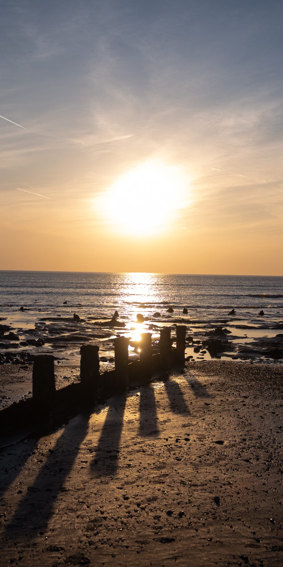
‘Holding the line’ is a phrase used in management to describe a way of keeping the coastline in its current position and preventing the sea from encroaching where it’s not wanted.
On vulnerable stretches of coastline where holding the line is important, it’s critical to understand how dynamics (how the currents, wave patterns, wind, tides and shifting sediment shape our coastline) and how different defence options will respond to the physical conditions.
Before deciding what defences to build, engineers study and model dynamics. They also look at how different defences will behave and try to predict how they will affect the natural processes along the coast (the ). This is important because choosing the wrong defence option can change the dynamics and work against holding the line.
The hold the line strategy has been used in Borth’s current sea defences. The new defences include giant rock boulders and rock groynes, and fish tail shaped breakwaters, along with a reef, which also improves surf conditions.
Advance the line
This is where new defences are built further into the sea, extending existing defences and reclaiming land in the process.
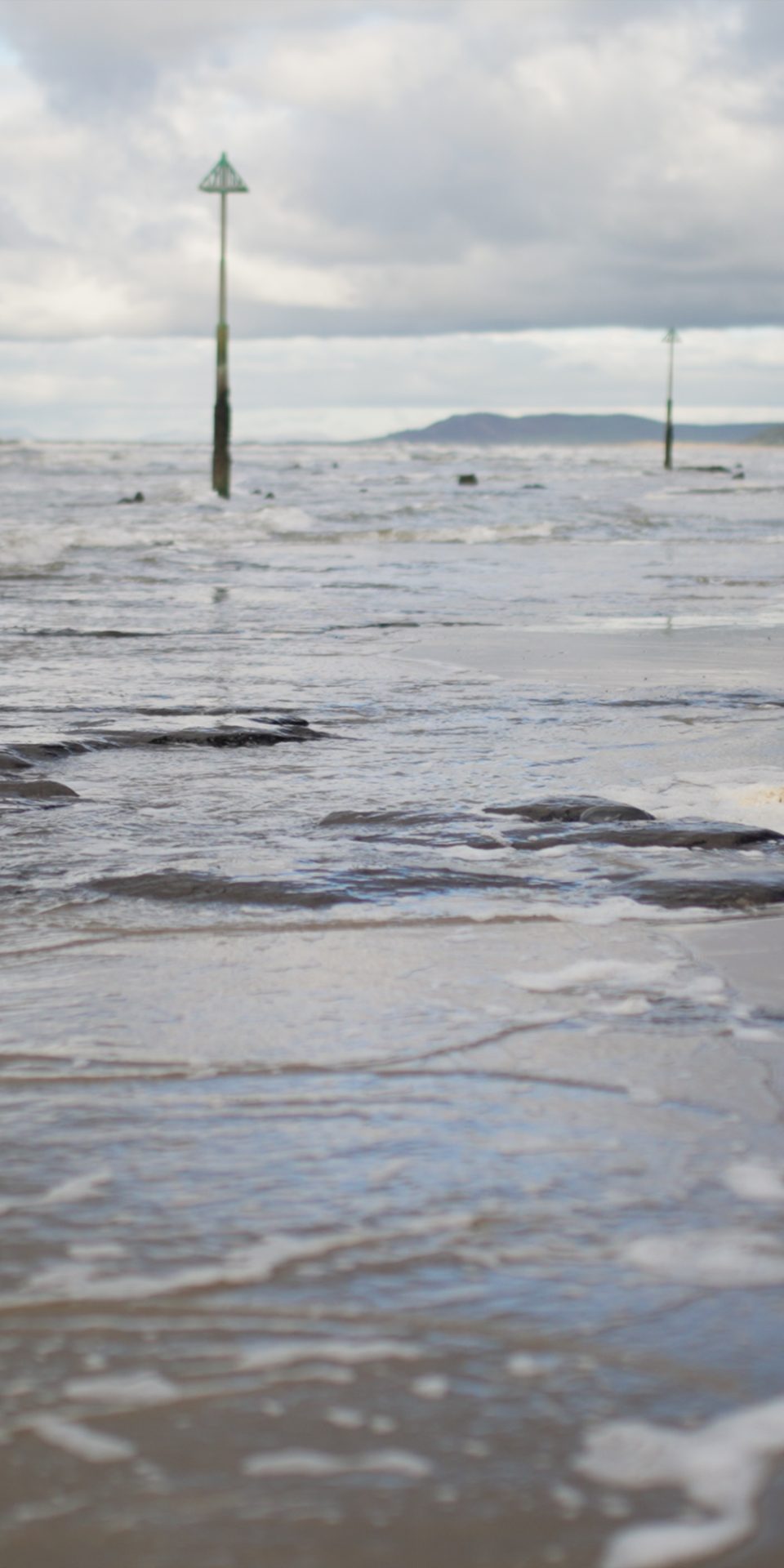
, is where the shoreline is moved backwards, with management to control or limit the movement of water from the sea. If an area is at high risk of , could be an option.
often involves the controlled flooding of low-lying areas to relieve the effect. In the Dyfi, this would require careful discussion and collaboration with any landowners and homeowners who have low-lying land or property.
In some cases, , combined with marine habitat creation, may be needed to compensate for the environmental cost of holding the line (where Marine Protected Areas are affected by ).
Although typically applies to low-lying areas at risk of flooding, it can equally be applied to cliff areas to help reduce the rate of recession for a period of time.
There are also some costs involved with . Some defences will need to be removed or redesigned, and land and property owners may need to be financially compensated.
But this strategy costs less compared to paying for new sea defences. It also creates a salt marsh, which can support many species and acts a natural defence against and flooding.
However, through this strategy, land is reclaimed or changed by the sea. This will impact livelihoods, people’s homes and the history and culture associated with the land
What is ?
is the loss or deterioration of natural shoreline habitats – such as beaches and salt marshes – that stems from being trapped between man-made defences and rising sea levels. This prevents the coast from moving inland as it normally would.
No active intervention
This is the ‘do nothing’ strategy – so there is no investment in installing or maintaining any defences. Where there are no existing defences, the shoreline will continue to evolve naturally.
There are areas that currently have sea defences that could be left to evolve more naturally by not repairing them when they break down, which may include an increased risk of flooding or . Alternatively, the old defences might be removed to implement a ‘do nothing’ strategy.
Natural Resources Wales is working on the next iteration of the shoreline management plans to create the Borth to Ynys-hir Strategy, as described in Chapter 6.
How other communities are building
A good example of other communities building in Wales is the Pembrokeshire Forum (PCF), who have created a Climate Adaptation Toolkit for the county. The toolkit has been officially endorsed as a United Nations Ocean Decade Activity, recognising the project’s contribution to international efforts to build a more sustainable relationship with the world’s oceans
Recent breaches of man-made flood defences
- 1990: Properties flooded due to breach of Afon Ddu
- 1997: Major breach of Afon Leri
- 2001: Breach of flood defences
- 2007: Breach of Afon Ddu’s right bank
- 2012: Overtopping after extensive river flooding; tens of properties and caravans affected
- 2014: overtopping; several properties and gardens affected
- 2016: overtopping; properties affected
- 2017-18: overtopping and damage to defences
- 2019: Several breaches of Afon Leri embankments
- March 2020: Breach of the east Afon Leri; emergency repair needed
- August 2020: One of the repaired defences fails
- 2021: Localised flooding due to embankment damage
- 2022: Breach of the timber south of the Dyfi Dunes; damage and flooding